


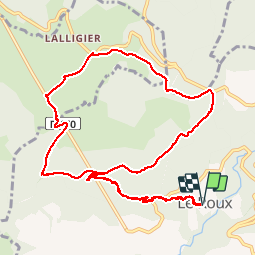

12.7 km | 17.9 km-effort


User


FREE GPS app for hiking
 SityTrail
IGN / Geographical institutes
SityTrail World
The world is yours!
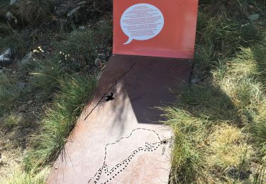
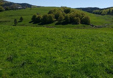
Trail Walking of 12.9 km to be discovered at Auvergne-Rhône-Alpes, Ardèche, Le Roux. This trail is proposed by Michel07.

Walking
Walking
Walking
Walking

Walking

Walking
Walking
Walking
Walking
Super circuit mais evitez le depart du Roux et la montée a l'aller et au retour tres mal pavée et sans interet pour les genoux